
FAA Licensed Drone Imagery Services
More and more commercial and promotional content today includes the aerial perspective of drones. FAA regulations require licensed and certified drone pilot training in these usage cases. This ensures safe, legal, and competent piloting. This standard is demonstrated by experience, extensive study, and “Part 107” FAA testing certification.

Marketing and promotional images
Drone Shot
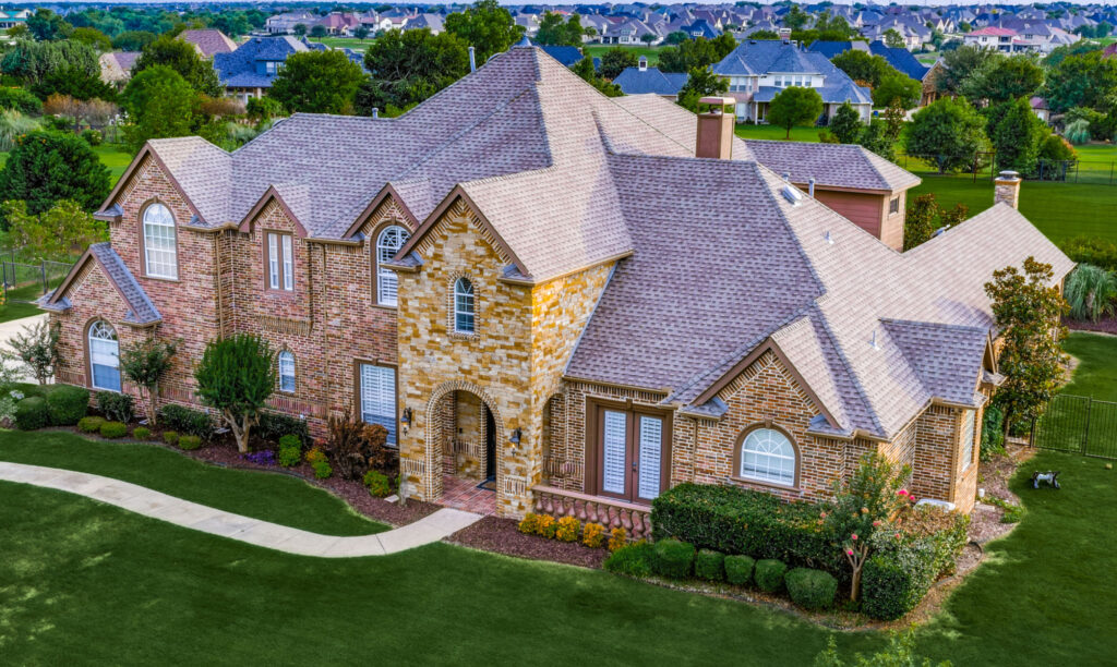
A perspective like this one adds a compelling dimension to MLS listings, and is best captured by a drone.
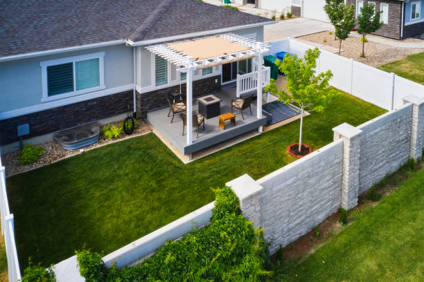
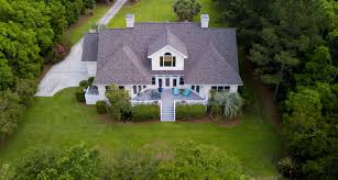
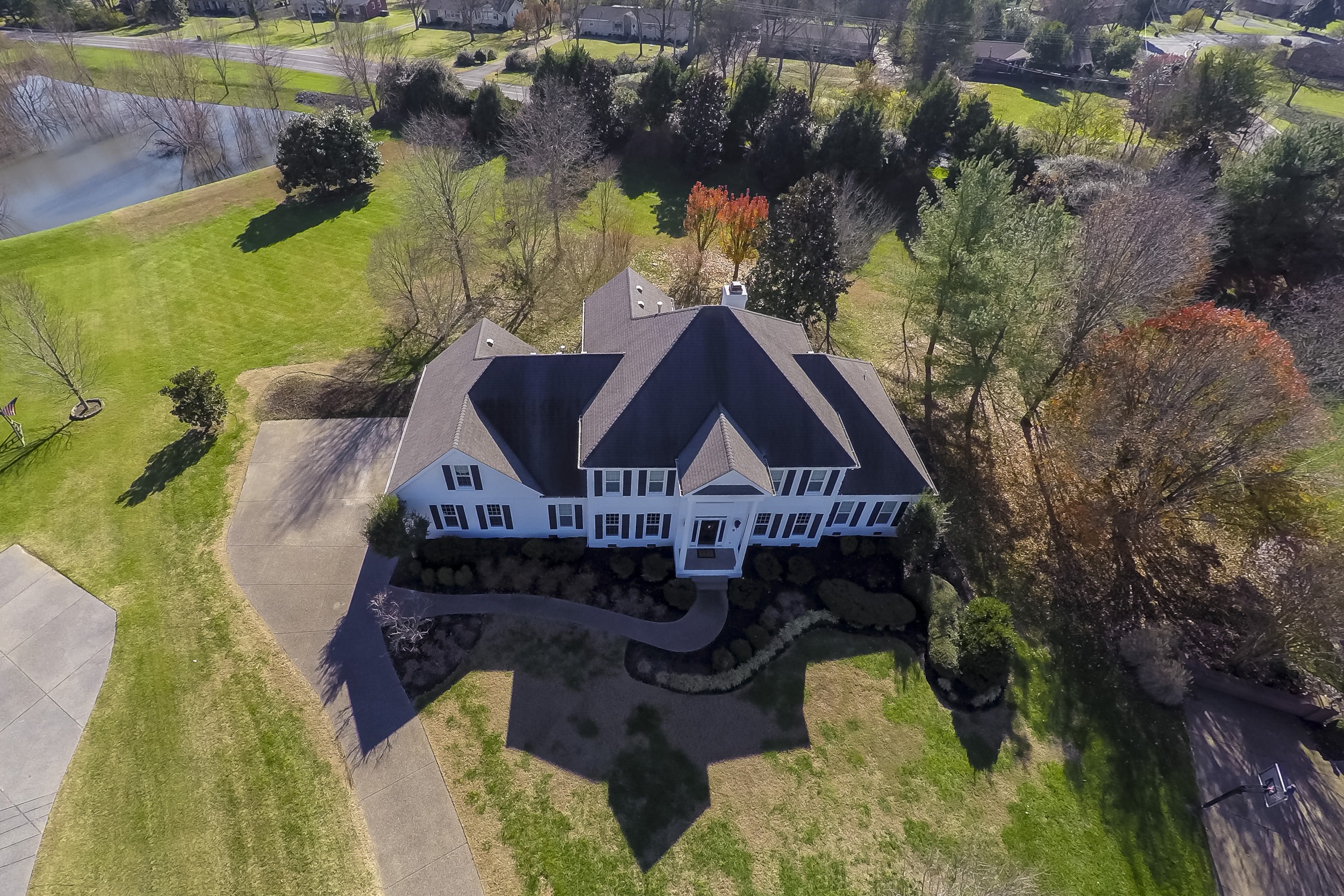
Real Estate Marketing
Real estate drone photography is the most obvious, and commonly seen type of drone imagery. It is rapidly becoming a must-have asset in the competitive real estate market.
It is especially important for marketing more premium real estate listings.


Real estate drone shots can also be beneficial in promoting cities, counties and HOAs…
Think chambers of commerce promotional materials, city project promotions, appeals to commercial developers, events announcements & news stories, etc.


Construction Site Orthomosaic Mapping and Site Monitoring:

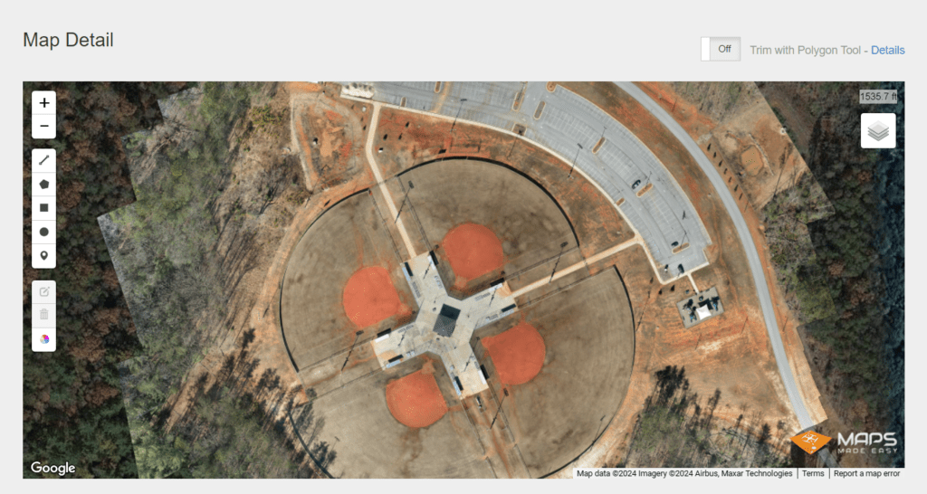
Example of a 2d orthomosaic map created for White County, GA , mapping one of their award-winning Parks & Recreation facilities…
The measurement tools in this type of application permit desktop, accurate measurement capabilities (distances, square footage, stockpile volumetric measurements, GPS coordinates and relative elevations.) These are all useful for site planning, scaling new additions, and creating a work plan for a Public Works agency or a contractor to begin work. A simple example might be a concept to add more parking space for instance. Of course you could travel to the site and take large-scale measurements on site, but depending on your schedule and proximity to the site, that could be inconvenient and possible costly. With a 2D map, you can do planning and ideation in the convenience of your office or conference room, and easily include multiple parties in the conversation.
Note: Below is a screenshot of a web-based map tool created for White County, GA for their largest ball field complex. This particular screenshot is a static image only, and the measurement toolbox shown in the left side of the image is not live. It is shown for illustration only. In an actual client deliverable, this would be made available to the client in functional form. I use a commercial drone mapping company to process the images, using commercial software. They process and store the maps in a cloud-based environment. If you have a potential interest in this application for your property, contact me and I’ll share access to a functional map example so you can get a better feel for its use. I’d also be happy to explain the technology used to create these “orthomosaic” maps.
Licensed commercial drone operators are seeing very rapid growth among construction contractors and developers for this particular application,. It provides major benefits for the owner/clients, and for planners and contractors.
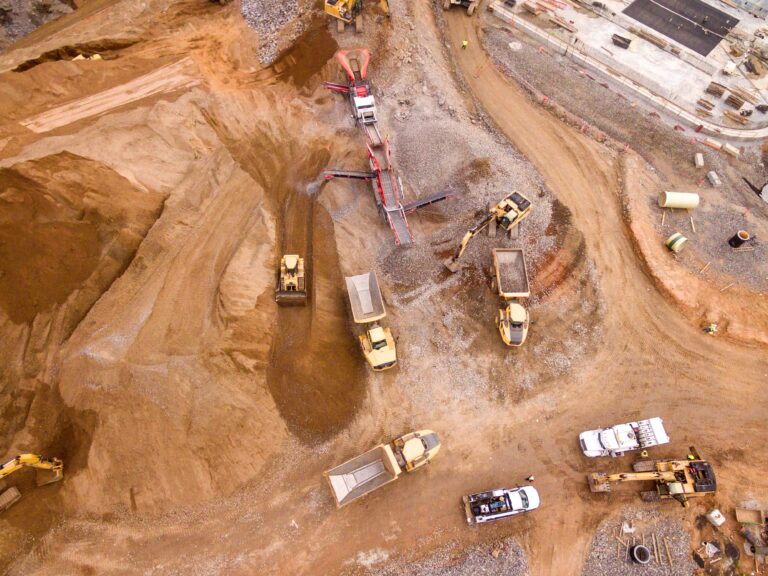
Periodic Construction Site Monitoring
In addition to the drone site mapping application discussed above, drone operators are frequently engaged to provide a regular (e.g., quarterly/monthly/weekly) update to site progress, with several high-resolution aerial images of the entire build site.

Here is an example of a site progress monitoring project…
As the site work progresses, the owner/investor will always be interested in periodic visuals of project progress. The contractor’s management team may not have frequent, convenient access to the site. All parties find periodic, scheduled site image updates to be valuable for their reviews. This can save substantial travel expense and time for both the client and the contractor.
Many new construction RFPs and bid calls often spec in drone site updates to the bid. Contractors also find them to be helpful in winning new bids.